Blog

Map Quest VII

Detroit saw renewed interest in redevelopment during the 1960s. Some of these maps attest to the progress being made or proposed, and others just tell us where to find the chocolate.

Map Quest VI

It appears that maps became even more abundant for city planning uses in the 1950s when the profession of urban planning rose in importance and master plans became popular. In addition, here are also some other great maps from that period in time.

Map Quest V

Moving on to the 1940s with maps of all kinds!

Map Quest IV

From the 1930s, we have some novel maps in the Religion Collection and perhaps the most delightful map we could find.

Map Quest III

Moving forward in time a few decades, let’s look at maps from the 1910s and ‘20s.

Map Quest II

Here, we continue featuring special maps from our collection from the period around the turn of the century.

Map Quest I

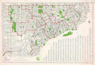
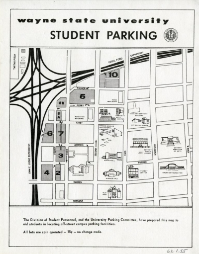
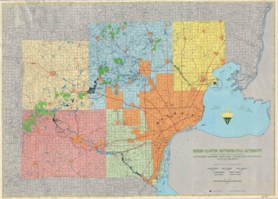
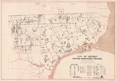
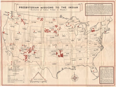
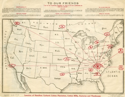
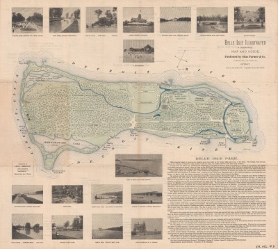
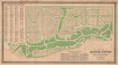
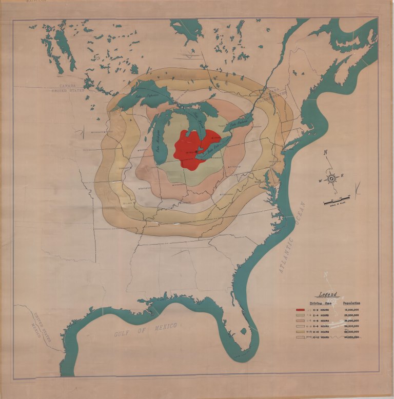
Maps are one of the best ways to show how a city grows and develops over time. They can highlight transportation infrastructure, property ownership, demographics, recreational areas, and just about anything else. Whether exact or stylized, they tell a story about a moment in Detroit’s history. The series of posts to follow will chronologically highlight some of the most interesting and unique maps in the Detroit Historical Society’s collection.

The World’s Greatest Outdoor Spectacle

This panoramic image of the stadium came from the program for the 1923 Awakening


Marine Pollution Control

Marine Pollution Control’s barges, the BUDA I and BUDA II, pictured at the company’s dock on the Rouge River.


Detroit's Song

The Detroit Schottisch, 1854


Pages