Moving forward in time a few decades, let’s look at maps from the 1910s and ‘20s.
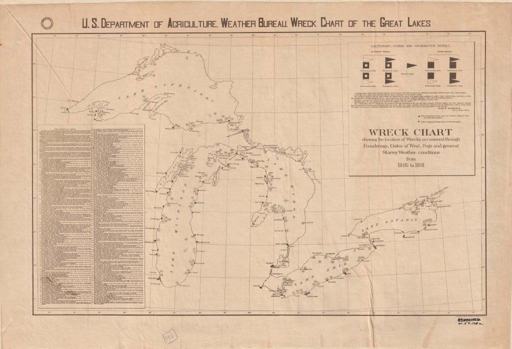 The Great Lakes can be treacherous for travelers, as the U.S. Department of Agriculture Weather Bureau attests with this map. It charts 147 shipwrecks from 1886 to 1891 due to weather incidents.
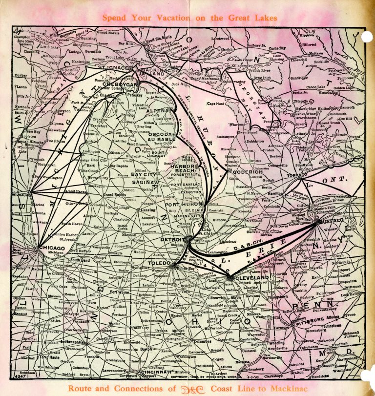 A Detroit and Cleveland Navigation Company steamship was the way to travel across the Great Lakes region in 1913. Before interstate highways, a steamer was the fastest and most efficient way to move between cities like Buffalo, Toledo, Detroit, and Milwaukee.
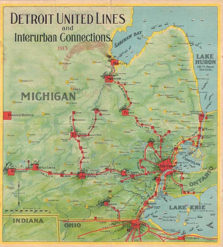 As we look forward to light-rail being reintroduced to the city, this map shows how extensive the interurban lines across southeastern Michigan were in 1913.
[caption id="attachment_2299" align="aligncenter" width="300"] Founded in Detroit in 1889, Carhartt continued to grow throughout the 20th century. This map shows the company’s nationwide production network in 1926.
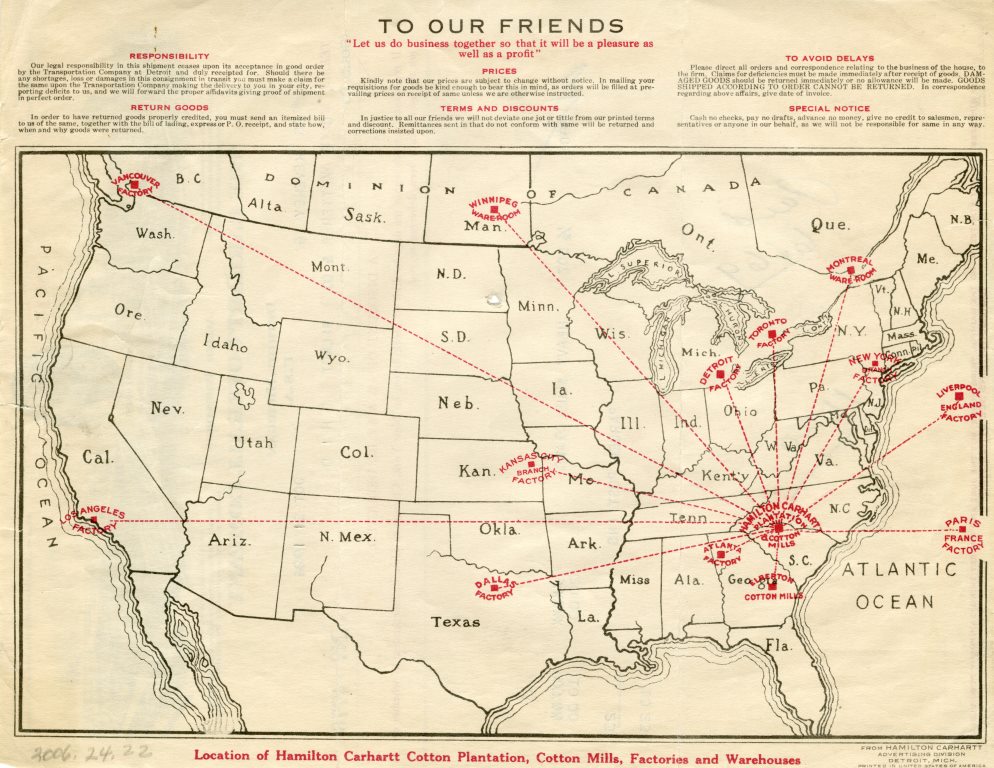 Founded in Detroit in 1889, Carhartt continued to grow throughout the 20th century. This map shows the company’s nationwide production network in 1926.