Maps are one of the best ways to show how a city grows and develops over time. They can highlight transportation infrastructure, property ownership, demographics, recreational areas, and just about anything else. Whether exact or stylized, they tell a story about a moment in Detroit’s history. The series of posts to follow will chronologically highlight some of the most interesting and unique maps in the Detroit Historical Society’s collection. However, there are many hundreds more that you can always view by searching our online digital collections.
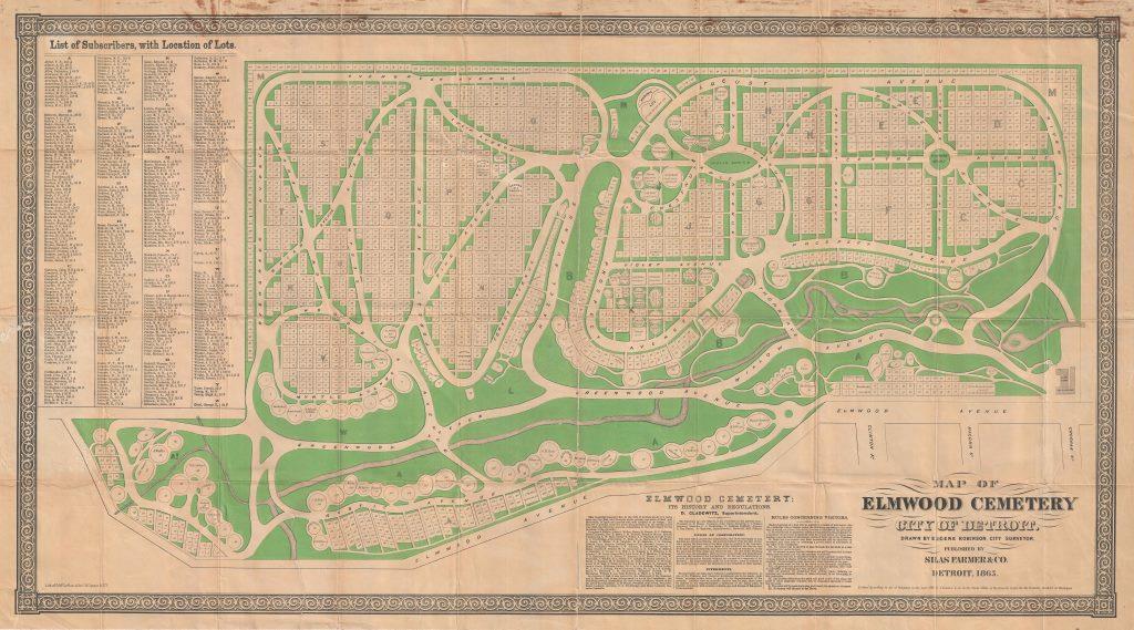 Founded in 1846, Elmwood is the oldest continuously operating, non-denominational cemetery in Michigan. This 1865 map published by Silas Farmer & Co. makes it easy to locate specific plots.
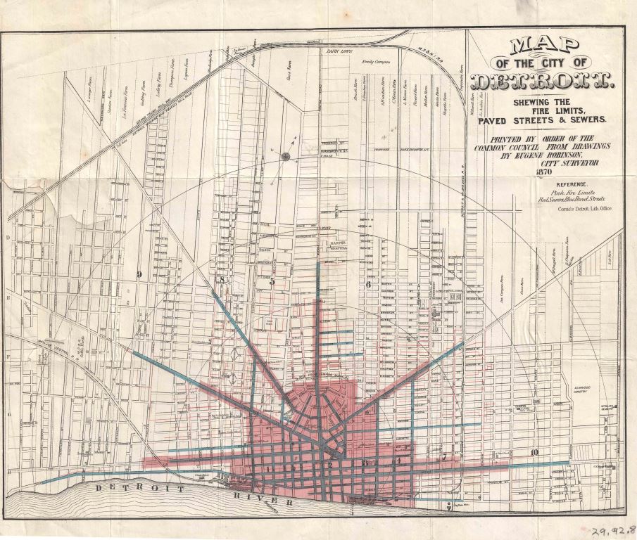 In 1870 it would have been important to show what parts of the city received certain services. This map is shaded pink where fire protection was offered, blue highlights paved roads, and red indicate sewer lines.
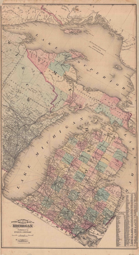 This 1874 map published by Everts and Stewart stands out from other state maps because of its unusual diagonal orientation.
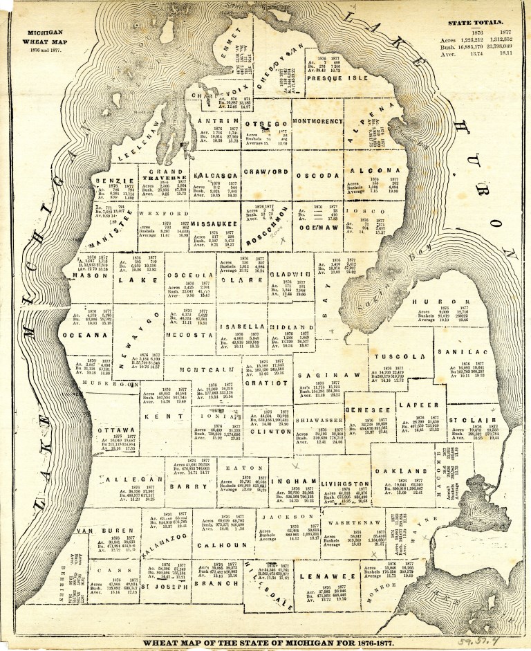 Curious about state wheat production in 1876? There’s a map for that!
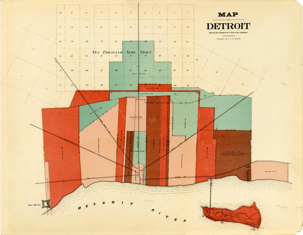 This 1891 map shows us how the boundaries of Detroit expanded through Acts of Legislature starting in 1806. It even notes when an enlargement was declared unconstitutional by the Supreme Court.